


Youlgrave
Also known as Youlgreave by the OS and various mapping agencies. (see www.youlgrave.org.uk for the most common mis-spellings of the village through the ages).


This Derbyshire White Peak village in the Peak District National Park basks in being connected to all the surrounding towns and villages by a good road network but not on the main route to any of them and with weight restrictions to keep out HGV traffic is restricted to local farm vehicles and visiting walkers. Most visitors arrive by turning off the A6 onto the B5056 and bearing right where it’s junction meets the road to Alport – where the Lathkill and Bradford rivers meet before proceeding downstream to eventually join the Derwent.
Having ascended from Alport the visitor arrives on a relatively flat plateau passing: on the LEFT firstly the QE II Playing Alport Lane Playing Fields and then in turn the surgery with attached dispensary and after a few houses, the Scout & Community Youth Hall, Primary School and All Saints Church – one of the finest churches in Derbyshire which boasts a full peal of 12 bells (13 hang in the tower but musically only 12 can be played together) (bell ringing practice takes place on Tuesday evenings); on the right Long Rake Spar offices, Granby House, Youlgrave Garage and the Reading Room bring you to the first pub on the corner the George Hotel serving wholesome food outside which the bus stops for passengers to Bakewell. Conksbury Lane branches off to the right at this point passing out of the village and then right down across Lathkill Dale and up the hill for a scenic back route into Bakewell. The left turn after the church drops steeply down into Bradford Dale and leaves the village heading for Gratton and Elton.


Carrying on straight ahead on the flat you are now on Church Street and almost immediately on the left brings the visitor to the bus stop dropping off from Bakewell – this driveway also forming the entrance to April Cottage and Woodturning at Christmas Cottage.

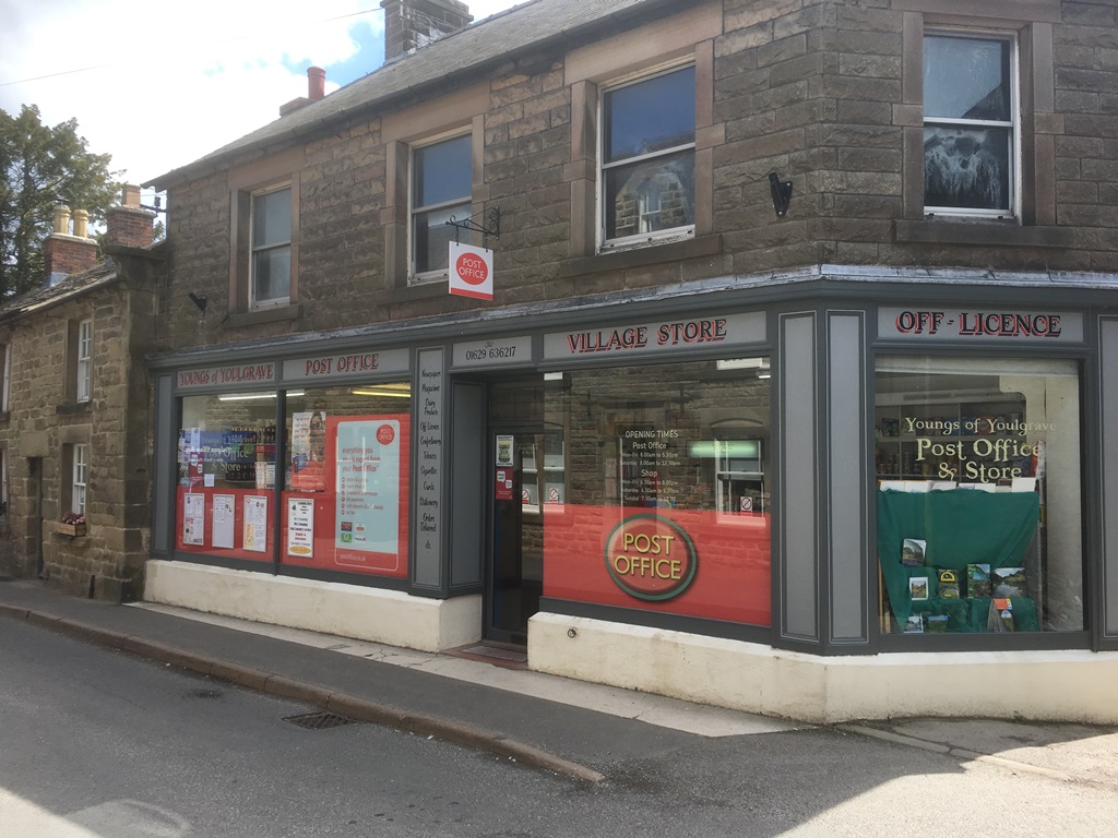
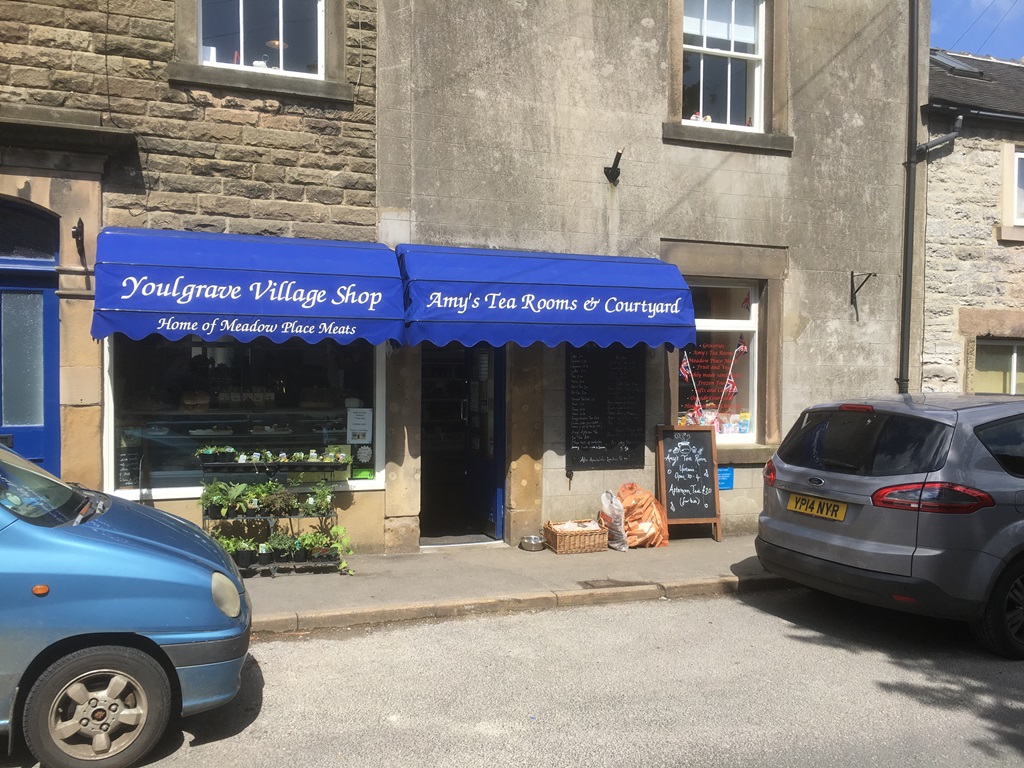
Church Street has many of the fine Grade II listed houses in the village and also provides a location for the Post Office which also has a mini off-licence, groceries and other essential supplies plus newspapers and local walking books (closed Sunday afternoon) and Youlgrave Village Shop and Tea Room with Deli counter, meat, groceries and a thorough range of products that locals run out of and holiday makers have left at home and an upstairs Tea Room or outside back courtyard seating (closed Wednesday afternoon).
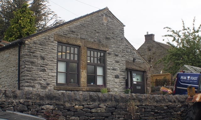
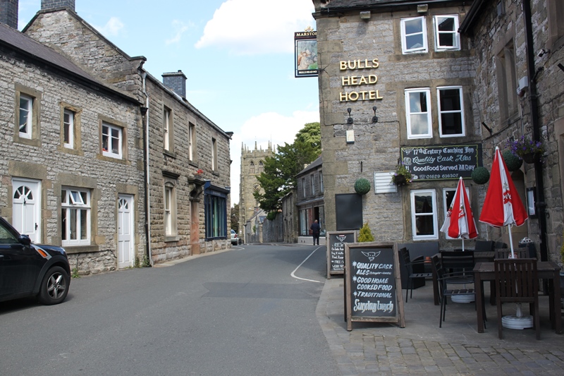
Beyond these the road opens into Fountain Square where the 1829 Conduit Head that once supplied water for the village still stands. The smallest hall in the country Thimble Hall is currently under restoration nearby with Peak Feast delicious pies and cakes a short walk beyond on Moor Lane. On the opposite side of the square is our second pub The Bulls Head again serving good food with the former Co-Op Stores building (now a seasonal youth hostel).

Continuing, the road slightly falls and rises with The Old Hall standing opposite a wide access with the Wesleyan Chapel and leading down to the Village Hall on Holywell Lane and down to an ancient footbridge and ford in Bradford Dale.
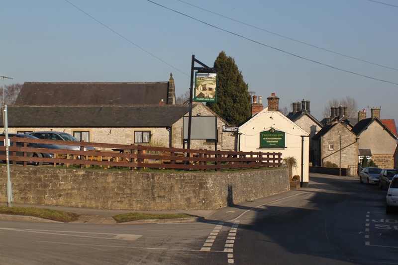
Carrying on again onto Main Street you reach the final pub The Farmyard Inn boasting an excellent choice of food.
Just after the Farmyard take a left down the first part of Bankside and follow the sign to Bankside Wildlife Garden – a hidden gem.

Beyond the road rises past the Methodist Church and British Legion’s Knoll Club to the Parish Council run car park established to relieve the congestion of walkers cars especially at weekends. The allotments beyond form the western boundary as the road winds up and branches off towards Middleton by Youlgrave and Newhaven on the A515 (to Ashbourne) to the left, while keeping right leads out passing 2 quarries to Arbor Low – a large stone circle and the A515 & Buxton beyond.